Published /
Bandai-Azuma Skyline
The Road that Runs Across the Sky

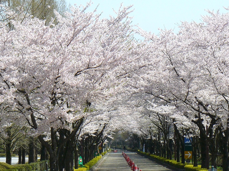
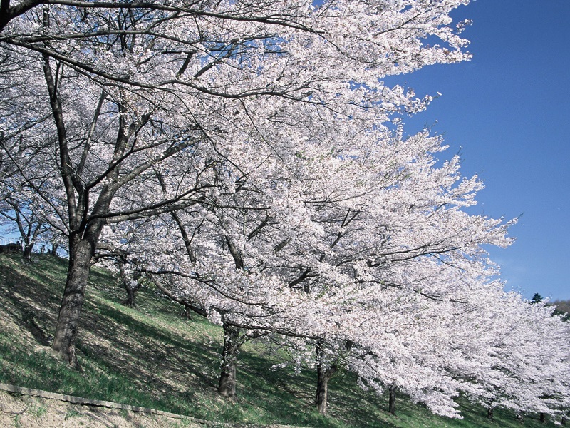
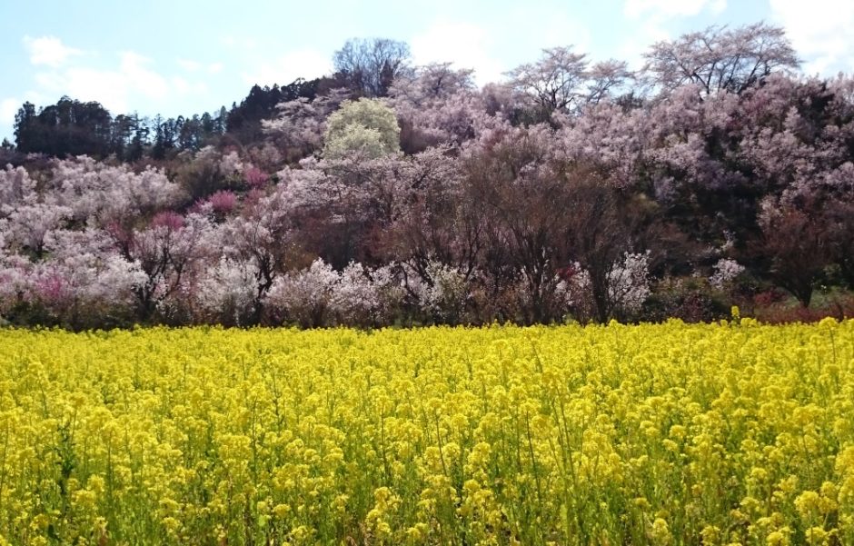
The Bandai-Azuma Skyline is a 29 km alpine road with a maximum elevation of 1622 m that winds through the Azuma Mountains west of Fukushima City. This scenic route is known as “the road that runs across the sky” and offers impressive panoramic views of Fukushima City and the surrounding areas. You can experience snow-lined corridors in early spring, a fiery display of multi-colored autumn leaves, hiking through sub-alpine forests, and an other-worldly volcanic landscape. The Bandai-Azuma Skyline captivates travelers from near and far with its breathtaking array of scenery.
Check our Hiking at Jododaira guide or the Bandai-Asahi National Park homepage for more information about hiking in the area.
Opening Hours
| Open | 2024: April 23 ~ Mid-November |
|---|---|
| Closed | Nightly Closures (5:00 PM ~ 7:00 AM): ・April 23, 2024 ~ May 7, 2024 Winter Closure: ・5:00 PM, November 11, 2023 ~ April 22, 2024 |
| Note | There may be additional closures or limited hours depending on weather conditions. |
Access from Fukushima Station
| Car | 60 mins |
|---|---|
|
Jododaira Parking fee |
Motorbike: 200 yen Car: 500 yen Mini Bus: 1,000 yen Tour Bus: 2,000 yen |
Nearby Attractions
・Jododaira (0.0 km)
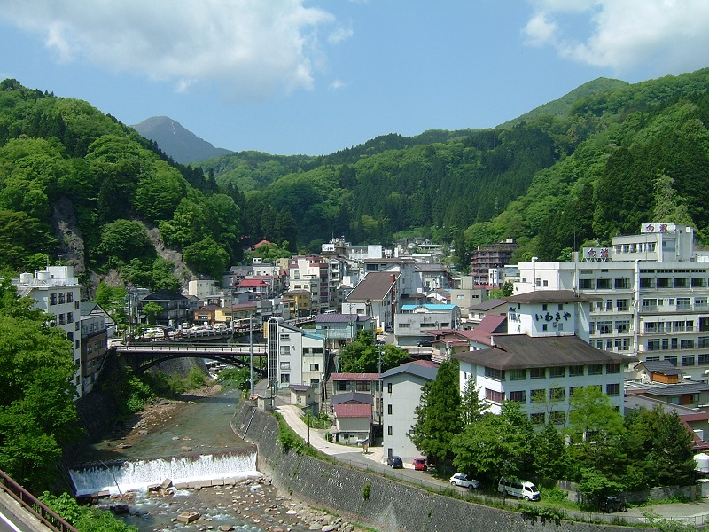
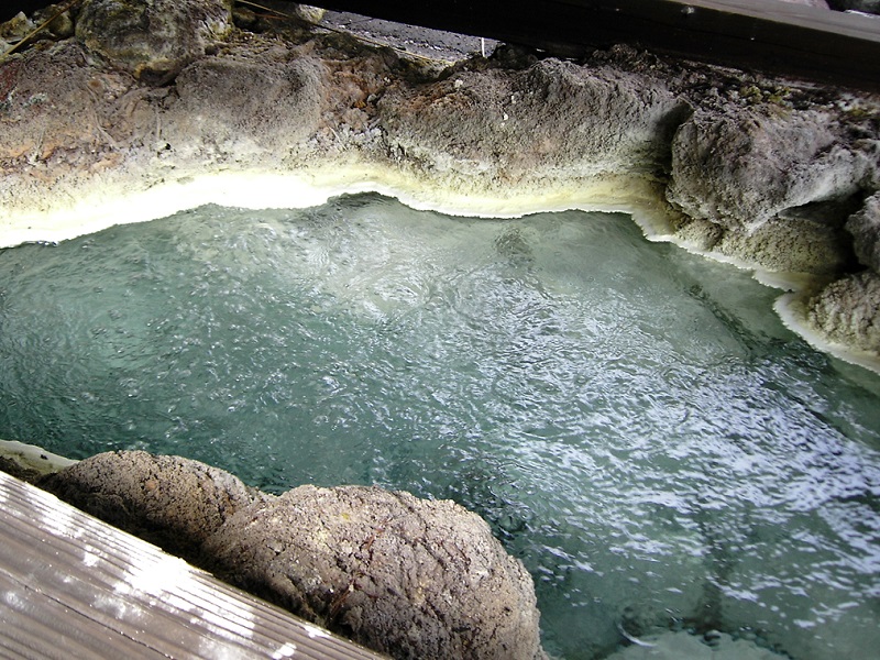
・Takayu Onsen (15.0 km)
・Tsuchiyu Onsen (32.6 km)
Links
・Bandai-Asahi National Park (English)
・Fukushima Travel (English)
・Fukushima City Tourism and Convention Association (Japanese)